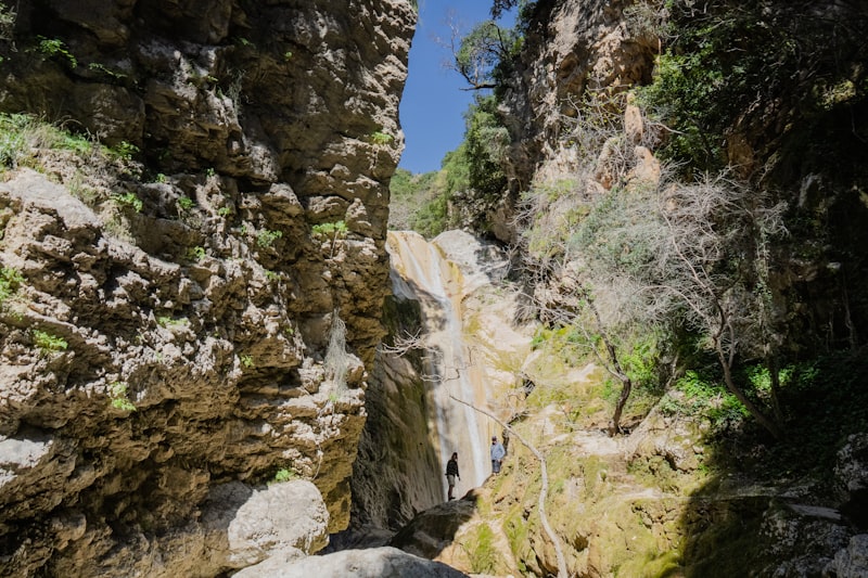
#1 · 128 m drop
Hengifoss
Egilsstadir · Eastern Region · Iceland
I'd been looking forward to most: hiking to Hengifoss, then heading out at 9pm to see puffins at Borgarfjarðarhöfn. The weather cooperated — blue sky, scattered clouds.
Hengifoss doesn't have the name recognition of Iceland's headline waterfalls, but it was the one I wanted to see most, because of a single photo angle I'd stumbled across on Instagram — a shot looking down over the falls from above. I got obsessed with finding that exact rock. I went through every geotagged photo on Google Maps I could find, then cross-referenced them against satellite imagery to pin down the rock's coordinates. I searched hiking blogs and trip reports and found only two relevant posts, both on Reddit. Where does the route up start? Where does the path go? I studied aerial imagery for hours before picking an entry point — most of my "research" came from staring at satellite photos rather than reading anyone else's guide, because almost no one seems to have gone up that way.
I love hiking, even though I don't get to do it often. But my experience with wild, remote destinations is: if you don't hike, you miss the best views — and the best views are almost always from the top.