Abrams Falls stands as one of the most powerful and voluminous waterfalls in Great Smoky Mountains National Park, despite its modest 20-foot height. What this Tennessee gem lacks in vertical drop, it more than compensates for with its impressive width and thunderous flow. The waterfall spreads across a broad rock face before plunging into a remarkably deep, jade-green pool surrounded by moss-covered boulders and lush Appalachian forest. The sheer volume of water cascading over the precipice creates a perpetual mist and a roar that can be heard well before the falls come into view, making the destination all the more rewarding. Reaching Abrams Falls requires a moderate 5-mile round-trip hike from the Abrams Falls Trailhead in Cades Cove, one of the park's most popular historic valleys. The trail begins at the western end of the Cades Cove Loop Road and follows Abrams Creek through beautiful second-growth forest. Hikers will cross several wooden footbridges, navigate some rocky sections, and experience moderate elevation changes totaling about 340 feet. The path can be challenging in spots with roots and rocks, but it's well-maintained and suitable for families with older children. Allow 2.5 to 4 hours for the complete journey, depending on how long you spend at the falls. The optimal time to visit Abrams Falls is during spring (April through May) when snowmelt and seasonal rains swell Abrams Creek to its most dramatic flow levels, and wildflowers line the trail. Fall (October through early November) offers spectacular foliage and comfortable temperatures, though water levels may be lower. Summer brings heavy visitation but also warm weather perfect for admiring the cool mist. Winter visits are possible but can involve icy trail conditions. Regardless of season, arrive early in the morning to experience the falls with fewer crowds and capture the best photography lighting as sun filters through the forest canopy onto the cascading water.
Abrams Falls
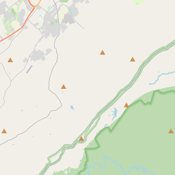

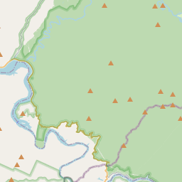
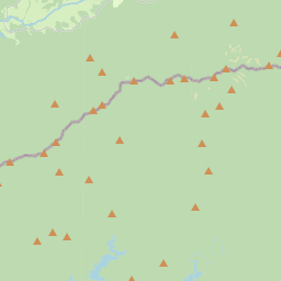


Waterfall height
Plan your visit to Abrams Falls
Please verify on the official website before you go
Why is Abrams Falls famous?
Abrams Falls is famous for having the largest volume of water of any waterfall in Great Smoky Mountains National Park, despite being only 20 feet high. It is named after Cherokee Chief Abram, who had a village at the mouth of Abrams Creek in the early 1800s.
Can you swim at Abrams Falls?
No — swimming is prohibited at Abrams Falls due to strong currents and dangerous undertow. Please verify on the official website before you go.
Are dogs allowed at Abrams Falls?
Dogs are not allowed on most trails in Great Smoky Mountains National Park, including Abrams Falls Trail. Please verify on the official website before you go.
Is Abrams Falls free? Do you need a permit?
Free — Great Smoky Mountains National Park does not charge an entrance fee. No permit is required for day hiking to Abrams Falls. Please verify on the official website before you go.
Is there parking at Abrams Falls?
There is a dedicated parking area at Abrams Falls Trailhead in Cades Cove with space for approximately 20 vehicles. Parking is free but fills quickly, especially in peak season. The trailhead is accessed from Cades Cove Loop Road. Please verify on the official website before you go.
How long is the hike to Abrams Falls?
About 8.0 km / 5.0 miles round-trip from the Abrams Falls Trailhead in Cades Cove. Please verify on the official website before you go.
Abrams Falls hike difficulty
Moderate — the trail features stream crossings on log footbridges, some elevation changes, rocky and potentially slippery sections, and roots. Please verify on the official website before you go.
When is the best time to visit Abrams Falls?
Spring (April–May) offers the highest water flow from snowmelt and spring rains, making the falls most impressive. Fall (October–November) provides beautiful foliage and comfortable hiking temperatures. Please verify on the official website before you go.
Route and trail notes for Abrams Falls
From the Abrams Falls Trailhead parking area off Cades Cove Loop Road, follow the well-marked trail through forest alongside Abrams Creek. The trail crosses several log footbridges over tributaries. After about 2.5 miles, the trail descends to the base of the falls where there is a pool and viewing area. Return by the same route.
Abrams Falls official website
Attractions near Abrams Falls
- •Cades Cove Loop Road — 11-mile scenic drive with historic cabins, churches, and wildlife viewing
- •Cable Mill Historic Area — working grist mill and collection of historic buildings in Cades Cove
- •Gregory Bald Trail — challenging hike to scenic bald with flame azaleas in June
- •Laurel Falls — 2.6-mile round-trip paved trail to a 80-foot waterfall, also in the Smokies
- •Townsend — charming gateway town known as the 'Peaceful Side of the Smokies'
Safety information
Waterfalls can be unforgiving. Read these before you go — and please, use your judgement on the day.
Full safety guide →Questions & answers
No questions yet — be the first to ask.
More to explore nearby
Ruby Falls
Chattanooga, Tennessee
Underground waterfall inside Lookout Mountain.
Fall Creek Falls
Pikeville, Tennessee
Tennessee's highest free-falling waterfall.
Cane Creek Falls
Pikeville, Tennessee
Wide cascade in Fall Creek Falls State Park.
Burgess Falls
Sparta, Tennessee
Four-cascade hike in Middle Tennessee.