MacKenzie Falls is definitely your kind of place. 📍 MacKenzie Falls, Zumsteins VIC 3401 Why it’s worth visiting: * The largest waterfall in Victoria, no doubt about it * A short and easy 1.5 km walk, around 19 minutes to reach the main viewing area * If you're lucky, you might even see a small rainbow in the mist Visitor tips: 1. Start by enjoying the panoramic view from the upper lookout 2. Then head down into the gorge to experience the waterfall up close 3. It’s beautiful in all seasons, so there’s really no bad time to visit Notes: The walk is mostly downhill with a lot of stairs, so take care when descending and ascending.
Mackenzie Falls
1 photo
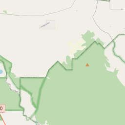
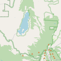
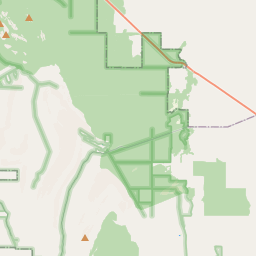


Leaflet © OpenStreetMap
35m
Waterfall height
Plan your visit to Mackenzie Falls
Please verify on the official website before you go
Why is Mackenzie Falls famous?
Mackenzie Falls is the largest waterfall in the Grampians (Gariwerd) and one of Victoria's most spectacular year-round waterfalls, plunging 35 meters into a dramatic rocky gorge. It holds cultural significance to the Djab Wurrung and Jardwadjali people and is renowned for its powerful flow and stunning natural amphitheatre setting.
Can you swim at Mackenzie Falls?
No — swimming is not permitted at Mackenzie Falls due to dangerous conditions and strong currents. Please verify on the official website before you go.
Are dogs allowed at Mackenzie Falls?
Pets are not permitted in Grampians National Park, including at Mackenzie Falls. Please verify on the official website before you go.
Is Mackenzie Falls free? Do you need a permit?
Free — no entry fee or permit is required to visit Grampians National Park or Mackenzie Falls. Please verify on the official website before you go.
Is there parking at Mackenzie Falls?
A large free car park is available at Mackenzie Falls, located at the end of Mackenzie Falls Road. The upper lookout is a short walk from the car park, while the base of the falls requires descending a steep trail. Please verify on the official website before you go.
How long is the hike to Mackenzie Falls?
About 2 km / 1.2 mi return from the car park to the base of the falls via steep steps and trail; the upper lookout is accessible in about 200 m / 0.1 mi from the car park. Please verify on the official website before you go.
Mackenzie Falls hike difficulty
Moderate to Hard — the trail to the base involves over 260 steep steps and rocky terrain with significant elevation change; return requires climbing back up. The upper lookout is Easy. Please verify on the official website before you go.
When is the best time to visit Mackenzie Falls?
Winter and spring (June–November) for highest water flow after winter rains, though the falls flow year-round. Autumn and spring offer milder temperatures for hiking. Please verify on the official website before you go.
Route and trail notes for Mackenzie Falls
From the car park, a short paved path leads to the upper lookout with views of the falls. For the base viewpoint, take the steep trail with metal stairs descending into the gorge (over 260 steps). The trail winds down through river red gum forest to a viewing platform at the base of the falls. The return involves climbing back up the same steep steps.
Mackenzie Falls official website
Attractions near Mackenzie Falls
- •Balconies (The Jaws) — iconic rock formation with spectacular valley views, 30 min drive north
- •Boroka Lookout — panoramic views over Halls Gap and Lake Bellfield, 20 min drive
- •Zumsteins picnic area — kangaroo spotting and swimming area, 10 min drive north
- •The Pinnacle — challenging hike to stunning rock summit with 360-degree views, near Halls Gap
- •Halls Gap — main township with cafes, shops, and accommodation, 30 min drive east
Safety information
Waterfalls can be unforgiving. Read these before you go — and please, use your judgement on the day.
Full safety guide →Questions & answers
No questions yet — be the first to ask.
More to explore nearby
Erskine Falls
Lorne, Victoria
Lush Otway Ranges waterfall on the Great Ocean Road.
30m·No reviews yet·330been
Hopetoun Falls
Beech Forest, Victoria
Otway Ranges fern-gully classic.
30m·No reviews yet·166been
Triplet Falls
Beech Forest, Victoria
Three-tiered Otway rainforest walk.
25m·No reviews yet·58been
Steavenson Falls
Marysville, Victoria
One of Victoria's tallest waterfalls.
84m·No reviews yet·326been