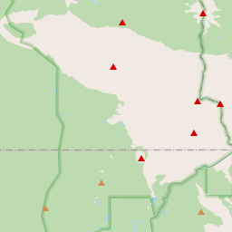
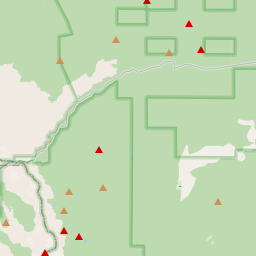
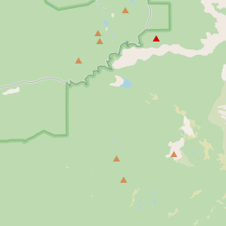
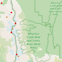
This waterfall is accessed directly from the roadside. It is divided into an upper and a lower waterfall. The upper falls are more obscured by trees and flow into a pool with no visible outlet, said to extend underground. The lower falls are reached via a rough path that people have formed through messy trees. It is unclear what the original trail looked like. You have to hold onto fallen logs to make your way down. Getting close to the waterfall almost feels like walking along tree trunks. Driving from Portland takes about 2.5 to 3 hours, heading straight into the primitive forests of central Oregon to reach this unreal wild waterfall, Proxy Falls. Proxy is about 45 minutes from Sisters and 1.5 hours from Bend. But it is worth it. For the detailed route, there are two waterfalls. After parking by the roadside, we went clockwise and looped back. Although we saw a sign saying one way trail, it is actually not strictly one way. Just follow AllTrails. There is no signal, so download everything in advance. Photos 3 and 4 show Upper Falls, which is easier to reach. Along the way there were red and yellow leaves, full of autumn vibes. The first stop is Proxy Falls, which requires some climbing to reach, a bit messy, and it was raining so the path was slippery. You can also view it from a distance as in photo 6. Or cross over many fallen trees and follow the sound to reach the base of the waterfall. The orange return route from Proxy Falls is not easy to walk, full of rocks. On the drive in, you will pass Dee Wright Observatory. The only downside is that it is a bit far and cold, around eight to nine degrees. I came from California wearing light clothes, while others were in down jackets. For lunch we went to Sno Cap Drive In in Sisters, recommended by a local we met while hiking, said to have the best burgers. Route navigation and basic info Search keyword Proxy Falls Trailhead Coordinates 44.1617856, -121.9278256 No formal parking lot but you can park along the roadside No signal at all, make sure to download offline maps in advance Trail overview Total distance 1.5 miles loop, very short Walking time about 30 to 45 minutes at a normal pace Suitable for kids and dogs The final section is more difficult if you want closer shots, you need to cross logs and step on mossy rocks, extremely slippery, proper shoes are necessary Highlights Upper Proxy Falls Just a quick stop, fairly ordinary, do not be disappointed yet Lower Proxy Falls Recommend walking clockwise, the forest atmosphere along the way is amazing Follow the sign to the lower falls and go all the way to the base No official trail, the final section requires climbing over logs and crossing small streams, feels like a jungle adventure
Proxy Falls


Waterfall height
Plan your visit to Proxy Falls
Please verify on the official website before you go
Why is Proxy Falls famous?
Proxy Falls is famous for its ethereal twin cascades that disappear into porous lava rock rather than forming a visible stream at the base—a unique geological feature of Oregon's volcanic Cascades. The moss-covered basalt columns and misty spray create a mystical atmosphere beloved by photographers.
Can you swim at Proxy Falls?
No. Proxy Falls is not a swimming destination; it's a scenic viewpoint accessed by hiking trail. Please verify on the official website before you go.
Are dogs allowed at Proxy Falls?
Dogs allowed on-leash on the trail. Please verify on the official website before you go.
Is Proxy Falls free? Do you need a permit?
Free; no entrance fee or permit required to visit Proxy Falls in Willamette National Forest. Please verify on the official website before you go.
Is there parking at Proxy Falls?
There is a small paved parking area at the Proxy Falls trailhead off Highway 242. Parking is free but limited to about 10–15 spaces; arrive early in peak season. The trailhead is directly accessed from the parking area. Please verify on the official website before you go.
How long is the hike to Proxy Falls?
About 2.4 km / 1.5 miles return loop trail from the parking area. Please verify on the official website before you go.
Proxy Falls hike difficulty
Easy to Moderate. Well-maintained loop trail with gradual elevation gain (~60 m / 200 ft), some rocky and rooty sections, and wooden bridges. Please verify on the official website before you go.
When is the best time to visit Proxy Falls?
Late spring through early fall (June–October) for accessible trails and good water flow; Highway 242 is closed in winter. Peak flow is typically late spring/early summer from snowmelt. Please verify on the official website before you go.
Route and trail notes for Proxy Falls
From the parking area, follow the well-marked loop trail counter-clockwise (recommended direction). The path descends gently through old-growth forest, crossing small streams on wooden bridges. You'll reach Lower Proxy Falls first (the main viewpoint), then continue on the loop to Upper Proxy Falls before returning to the trailhead. The trail also passes Linton Falls along the way.
Proxy Falls official website
Attractions near Proxy Falls
- •Linton Falls – Another waterfall on the same loop trail, just a short walk from Proxy Falls
- •McKenzie Pass Scenic Byway (Highway 242) – Stunning volcanic landscape drive with lava fields
- •Dee Wright Observatory – Historic lava rock observatory with panoramic Cascade views
- •Sahalie and Koosah Falls – Two spectacular waterfalls on the McKenzie River, ~20 miles west
- •Sisters, Oregon – Charming mountain town with shops, dining, and Old West atmosphere
Safety information
Waterfalls can be unforgiving. Read these before you go — and please, use your judgement on the day.
Full safety guide →Questions & answers
No questions yet — be the first to ask.
More to explore nearby
Multnomah Falls
Portland, Oregon
The third stop of our autumn trip around Portland was the main reason for this whole journey — Multnomah Falls.
Salt Creek Falls
Oakridge, Oregon
Oregon's second-tallest single-drop waterfall.
Latourell Falls
Corbett, Oregon
Columbia Gorge fall with vivid yellow lichen.
Wahkeena Falls
Corbett, Oregon
Trailhead neighbour to Multnomah Falls.